
Lake Oswego Neighbor Sources by Block
A Lake Oswego neighbors search can describe a small set of parcels and the public record connected to each one. It cannot identify every person who may be present at those addresses. The immediate block method starts with map geometry, then moves to a property account or a dated instrument only when a particular parcel needs confirmation. Voter information, civic contacts, and project files each answer a narrower question. Keeping those categories separate protects both accuracy and privacy.
| Source | What It Shows About a Block | Access |
|---|---|---|
| CMap | Parcel geometry, aerial context, address, tax-lot, and parcel routes | Public map; no owner names and not survey-quality boundaries |
| AscendWeb or Assessment & Taxation | Property-account owner or taxpayer, mailing, sales, values, and tax-record context | Address or account search; not a household roster |
| Clackamas County Recording | Dated party connection to a parcel or legal description | Research and copy route; historical ownership is not occupancy |
| Official voter-list request | Publicly releasable elector data for a permitted geography | Request based; protected data are excluded |
| Neighborhood association information | Civic geography, public contacts, and meeting context | Association information is not a membership list |
An owner, taxpayer, mailing contact, voter, permit applicant, and historical directory listing are different record roles. Lake Oswego neighbors research is most reliable when the worksheet names the role rather than using a broad label such as resident for every field.
Frame Lake Oswego Neighbors in CMap
CMap: Mapping your Clackamas Property is the visual starting point for an immediate Lake Oswego block. Search a focal address, or use its city, intersection, tax-lot, or parcel-number choices when the address is unclear. Zoom and aerial imagery help place the selected lot among the drawn parcels around it. Copy the visible address, tax-lot, or parcel identifier for each parcel that appears to touch the focal area before looking for a property-account record.
CMap's map viewer shows the county's parcel-search interface and its owner-information limitation.
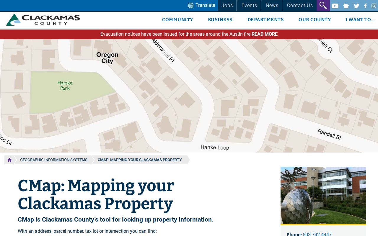
The map provides orientation, not a legal boundary ruling. CMap says it does not publish owner names online and cautions that displayed boundaries are not survey quality. Use its shapes to organize a records search; use recorded material or a qualified survey source for a legal boundary question.
From a CMap identifier, move to AscendWeb or contact Assessment & Taxation at propertytaxinfo@clackamas.us or 503-655-8671. AscendWeb accepts an account number or street address. City, state, and ZIP are optional qualifiers, and the county suggests a percent sign between a number and street name to improve an address query. Individual account pages currently display owner or taxpayer and mailing fields, but that relationship does not prove who lives at the site.
Map Lake Oswego Neighbor Parcels
The adjacent-parcel method is visual first, record second. It produces a small parcel-and-record worksheet rather than a list of people. Work outward from the focal address, record the map identifier, then label the type and date of every later record. A full named-street trail belongs in the Lake Oswego by-street directory; the tighter method below stays with the parcels immediately around one address.
- Find the focal address in CMap and note its parcel or tax-lot path. Use the aerial and zoom tools only to orient the immediate surroundings.
- Record the visible north, south, east, and west parcels or other directly adjoining shapes. Keep each account or tax-lot identifier beside the corresponding address.
- Search each identifier in AscendWeb or ask Assessment & Taxation for the narrow property record needed. Label a returned field as owner, taxpayer, mailing contact, situs address, sales information, or value information.
- When a historical property connection matters, request the relevant Recording instrument and compare its legal description, parties, date, and document references with the parcel.
The useful end product lists a focal address, surrounding parcels, account or tax-lot identifiers, dated instrument references, and source notes. It does not claim every adult household member, guest, utility user, or delivery recipient on the block. CMap's visual adjacency also should not be called legal adjacency without a survey or record confirmation.
Lake Oswego Voter Lists by Precinct
A block request is not a feature of Oregon My Vote, which is an elector self-service channel. The public route is a request for a voter list under ORS 247.945 and ORS 247.948. For local geography, use the map context to identify a precinct and ask the county whether the requested output can be produced. A precinct result is still a dated, legally limited elector record, not an occupancy census for the street.
Clackamas County Elections is the local point of contact for county formats, current capabilities, and corrections.
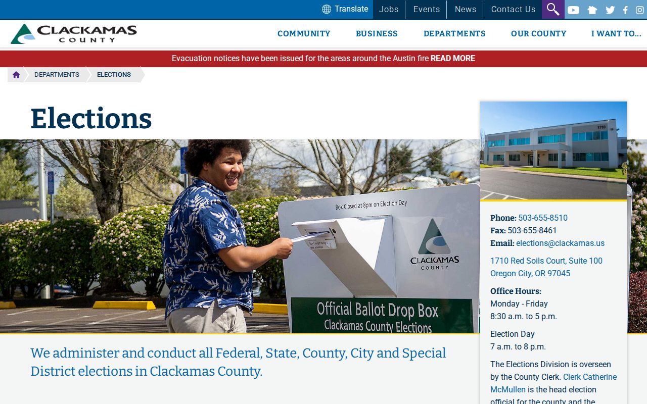
The county's elections channel is where a precinct-specific request can be framed without mistaking a statewide self-service screen for a public block browser.
The signed Clackamas County voter-list request form requires requester name, signature, daytime phone, delivery email, geographic selection, party selection, and format. It offers a Walking List, Registered Voter List, List with History, Voted or Not Voted report, and Voter Profile. The stated county price is a $25 setup deposit plus $0.25 per 1,000 voters, with at least 24 hours. The form restricts commercial use under ORS 247.955. Address Confidentiality Program information and other protected fields are excluded.
Lake Oswego Neighbor Association Contacts
Lake Oswego's Neighborhood Association Program describes 25 recognized voluntary associations, established under the 1974 Comprehensive Plan. They elect boards and support civic communication. The City does not publish a member roster and does not require homeowners associations to provide contact information. Association sources are useful for a neighborhood name, a public meeting, or a public officer contact, not for identifying private households.
The City's association list supplies public civic context for the association areas.
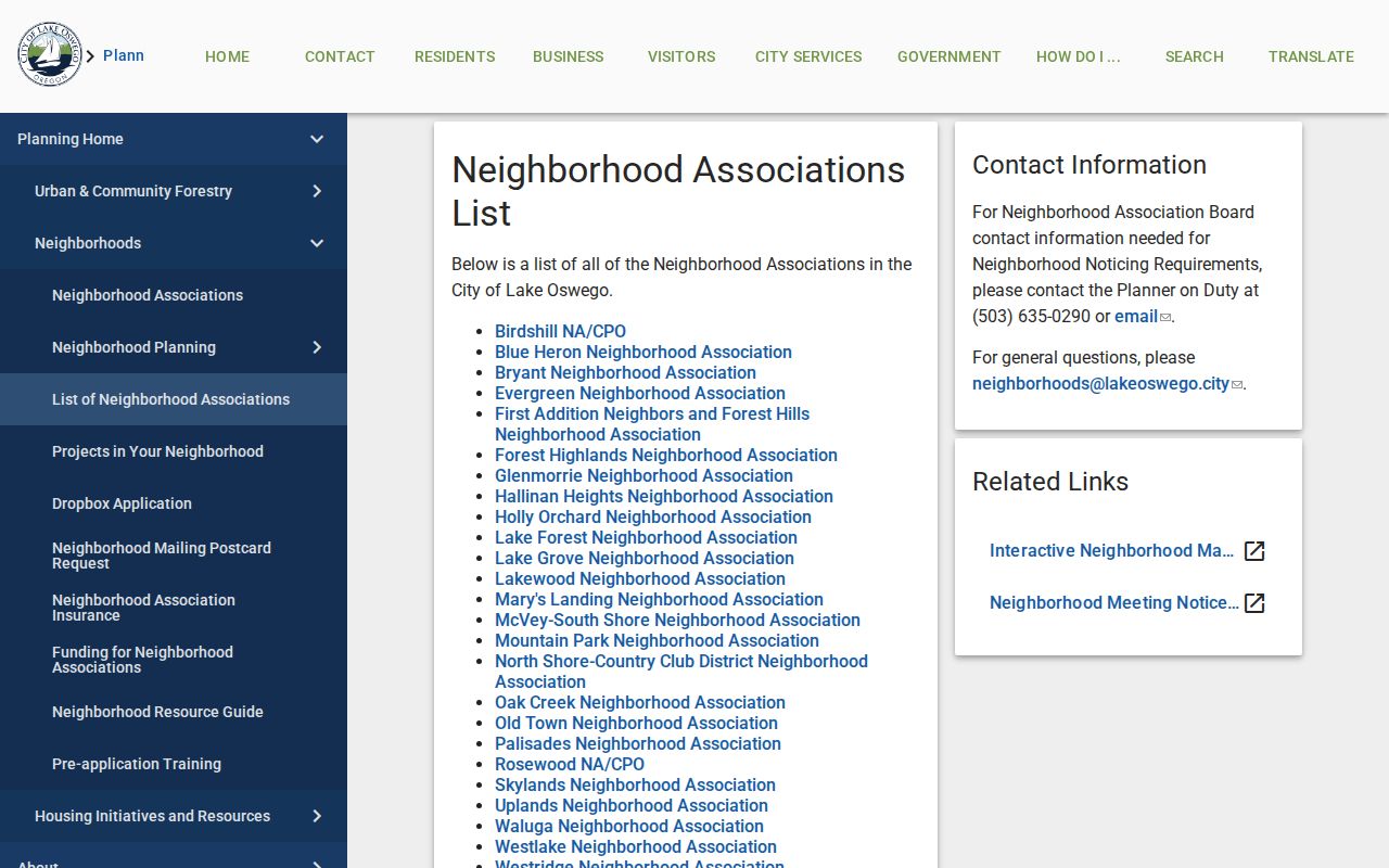
Check the current city or association listing before using a board contact, because association names, public contacts, and meeting details can change.
| Association areas | Useful civic context | Public-contact boundary |
|---|---|---|
| Birdshill, Blue Heron, Bryant, Evergreen, and First Addition/Forest Hills | Named neighborhood geography and public association activity | Use the city-listed officer or meeting information only |
| Glenmorrie, Hallinan Heights, Lake Forest, Lake Grove, and Lakewood | Historic and civic area context for a parcel | No city member roster or household directory |
| McVey-South Shore, Mountain Park, North Shore-Country Club District, Old Town, and Palisades | Public participation and neighborhood naming | A contact does not establish residency or consent |
| Waluga, Westlake, and Westridge | Meeting and civic-information context where published | Confirm current coverage and contact policy first |
Separate Lake Oswego Neighbor Record Roles
A block worksheet stays accurate when each address field is named. A situs address is the physical property location. A parcel or tax lot identifies the county account or map object. A legal description links land records. A tax mailing address is correspondence information and can belong to an owner, trustee, agent, or another recipient. A Recording instrument documents a party connection at a date. None of those fields establishes the whole household at a home.
The same caution applies to project records and historical listings. A City Planning file can supply project or applicant context for a specific address, but a project contact is not necessarily an occupant. A historic reverse directory can show a publisher-listed name at an address in a particular edition, not a current block roster. Nearby Lake Oswego neighbors may therefore be represented in different records, at different dates, or not appear in a public source at all.
Note: Keep owner, taxpayer, mailing contact, voter, project applicant, and historical listing in separate worksheet columns to avoid false matches.
Compare Lake Oswego Neighbor Sources
Official records are tied to an identified custodian and a stated purpose. Commercial neighbor-lookup tools may combine government, marketing, telephone, and other data, which can be stale, incomplete, or merged across people with similar names. A commercial display is a lead at most. Confirm it with the county, court, election, archive, or city custodian that actually maintains the underlying record.
| Official block records | Commercial neighbor tools |
|---|---|
| Show a stated record type, access channel, date, and legal boundary | May combine sources with differing dates and update cycles |
| Support narrow questions about a parcel, case, election request, or civic contact | Can blur owner, mailing, historical, and household roles |
| Can be checked with the responsible public custodian | Needs independent verification before being treated as reliable |
Lake Grove, First Addition, Lakewood, Old Town, and Westlake also represent different development and record eras. The City's history notes that Lake Grove's 1960 annexation changed the city name from Oswego to Lake Oswego. For archival material, search Oswego and Lake Grove as well as Lake Oswego, while keeping that historic-name work separate from a present neighbor claim.
Lake Oswego Neighbor Privacy Limits
Public availability has firm limits. Adult household members, guests, protected residents, utility users, and delivery customers are not a public block roster. The Oregon Address Confidentiality Program, under ORS 192.820 to 192.868, can provide a substitute address for qualified participants. Voter-list rules also exclude Address Confidentiality Program information and other protected fields. Do not treat an absent address as an error or pursue a physical address that the law keeps private.
Oregon Public Records Law applies to nonexempt existing records, not a demand for a custodian to create a neighbor list or disclose protected information. Use records for lawful personal research, neighborhood history, civic context, and verification with the office that holds the record. A concern about a record's accuracy belongs with its custodian, using the record identifier and evidence of the problem.
Lawful use. Lake Oswego neighbors records can support lawful personal research and civic context. Never use them to watch, stalk, threaten, harass, intimidate, or harm another person.