
Search Lake Oswego Streets
Start with an exact Lake Oswego address, not a person’s name. County and city systems are built around places, accounts, and projects. The useful chain moves from a visible parcel to its assessment account, then to a documented land transaction or city file. A result can establish an owner’s connection to a property or a dated project contact. It does not produce a complete list of everyone at that address.
- Enter the address in CMap and use its address, city, intersection, tax-lot, or parcel options to confirm the parcel and nearby street geometry.
- Take the street address or account identifier to AscendWeb. Its individual account route can show taxpayer, owner, mailing, value, and sales information.
- For a dated ownership trail, ask the Clackamas County Recording Division to locate an instrument by party, date, document number, or legal description.
- For a civic-registration question, use the county or state voter-list request process for the permitted geography. Do not expect a free street-browse tool.
- For an older listed name, ask the Lake Oswego Public Library to confirm a reverse or criss-cross directory edition before treating it as period evidence.
Keep the source date beside every result. That prevents a current parcel record from being mistaken for a historical listing, or a historical listing from being treated as a current resident record.
Lake Oswego Streets in CMap
CMap is the county’s map and parcel starting point. An address search can be refined by city, intersection, tax lot, or parcel number. Zoom and aerial imagery help orient a street segment and show the drawn parcels around it. The map is useful when a street name is common or an address has changed form.
The CMap property viewer states that it does not publish owner names online and that its displayed boundaries are not survey quality. Use it to identify the place and the account path, not to settle a property-line dispute or label the map as an ownership list.
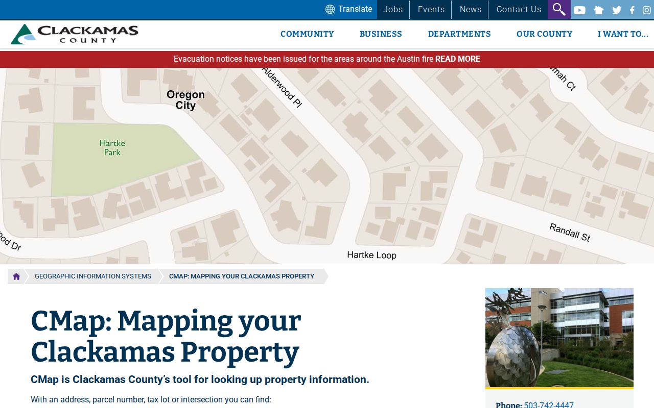
Once the map result supplies an address, tax lot, or parcel identifier, the assessment and recording systems provide the next record-specific routes.
Lake Oswego Street Directory Fields
AscendWeb is the county property-account search, and it fills the gap CMap deliberately leaves open. Choose either the account-number path or the street-address path. The form marks the selected main field as required. City, state, and ZIP are optional qualifiers, so a complete street number and name remain the core of an address search.
| AscendWeb field | Type | Required | Lake Oswego search use |
|---|---|---|---|
| Account Number / Alternate Map Account | Text | Yes in account mode | Use the eight-digit account identifier when it is known. |
| Street Address | Text | Yes in address mode | Enter the address; the county suggests a % between the number and street name. |
| City | Text | No | Optional qualifier for Lake Oswego results. |
| State/Province | Text | No | Optional address qualifier. |
| ZIP/Postal Code | Text | No | Narrows an address query; it is not an announced ZIP-only browse. |
The AscendWeb address search also links to tax statements and a value-history route. Its account pages currently display taxpayer or owner and mailing-address fields, along with sales information. Those are assessment-record roles, not proof that a named person occupies the situs address.
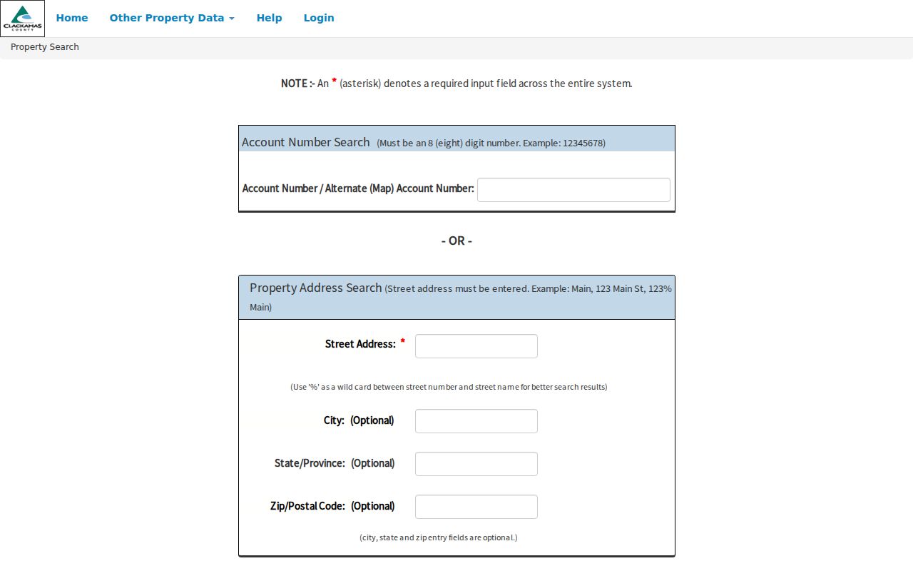
Save the account or tax-lot reference with the search date. It is more stable than a casually copied street description when moving between property and deed records.
Lake Oswego Street Records by Address
Address-keyed sources overlap, but they do not mean the same thing. The table separates the role of each record so a parcel result is not turned into a household claim. When a portal does not answer the narrow question, request the specific record from the custodian rather than broadening the conclusion.
| Address-record coverage | Address key? | What it answers | Official route and limit |
|---|---|---|---|
| CMap | Yes | Parcel location, nearby geometry, and account path | Address, city, intersection, tax-lot, or parcel lookup; no online owner names and no survey-grade boundary claim. |
| AscendWeb | Yes | Assessment account, owner/taxpayer, mailing, value, and sales fields | Street address is required; an owner or taxpayer field is not an occupancy field. |
| County Recording | Indirectly | Recorded land transactions and title sequence | Use party, date, document number, or legal description at the public research and copy area. |
| City permit file | Yes | Project, alteration, inspection, or applicant clues | Use Planning, Accela, or a focused city request; a project contact is not necessarily a resident. |
| Voter-list request | Potentially | Publicly releasable elector data for a permitted request | Request based, with protected fields excluded; it is not a street-directory screen. |
| Reverse directory | Yes | A publisher-listed name at an address in an edition year | Confirm the holding, year, and index key with the library. |
A parcel account can connect a street to a tax lot. The legal description or plat then anchors a deed search. A permit number can identify a city file. Each link adds context, but none changes the public boundary of the source that supplied it.
Lake Oswego Street Address Terms
Several labels can appear for one Lake Oswego property. Reading them accurately matters when a record is compared with a deed, a tax statement, or a historical directory.
- Parcel or tax lot
- The county map and assessment identifier for a piece of property. It helps locate the account, but it is not automatically the wording needed for a recorded instrument.
- Situs address
- The physical property location used in assessment records. It is distinct from a mailing field.
- Legal description
- The plat, lot, block, subdivision, or prior-instrument language that identifies land in a recorded document and can bridge an address change.
- Plat
- A recorded map that lays out a subdivision or parcel arrangement. It is a record reference, not the same thing as a screen map.
- Criss-cross directory
- A period directory arranged from address to listed name, useful only for the publication year and confirmed edition.
A tax mailing address may belong to an owner, trustee, agent, or another correspondence recipient. Label it as a mailing field. It should never become an assertion about where a person lives.
Lake Oswego Street Deed Chains
For land history, follow the parcel backward through recorded instruments. Request the latest instrument and note the grantee, grantor, recording date, document number, legal description, and any prior-document reference. Then find the earlier acquisition by the former owner and verify the same lot, plat, or legal description before continuing. This is a title-history method, not a list of current household members.
The Recording Division says its holdings can trace property ownership to the early 1850s, with records preserved on microfilm or computer image and a public viewing/research area for copies. Currently recorded documents are indexed within two business days. The office is in Oregon City, so the counter route is important when a record is not offered as an open web grantor-grantee query.
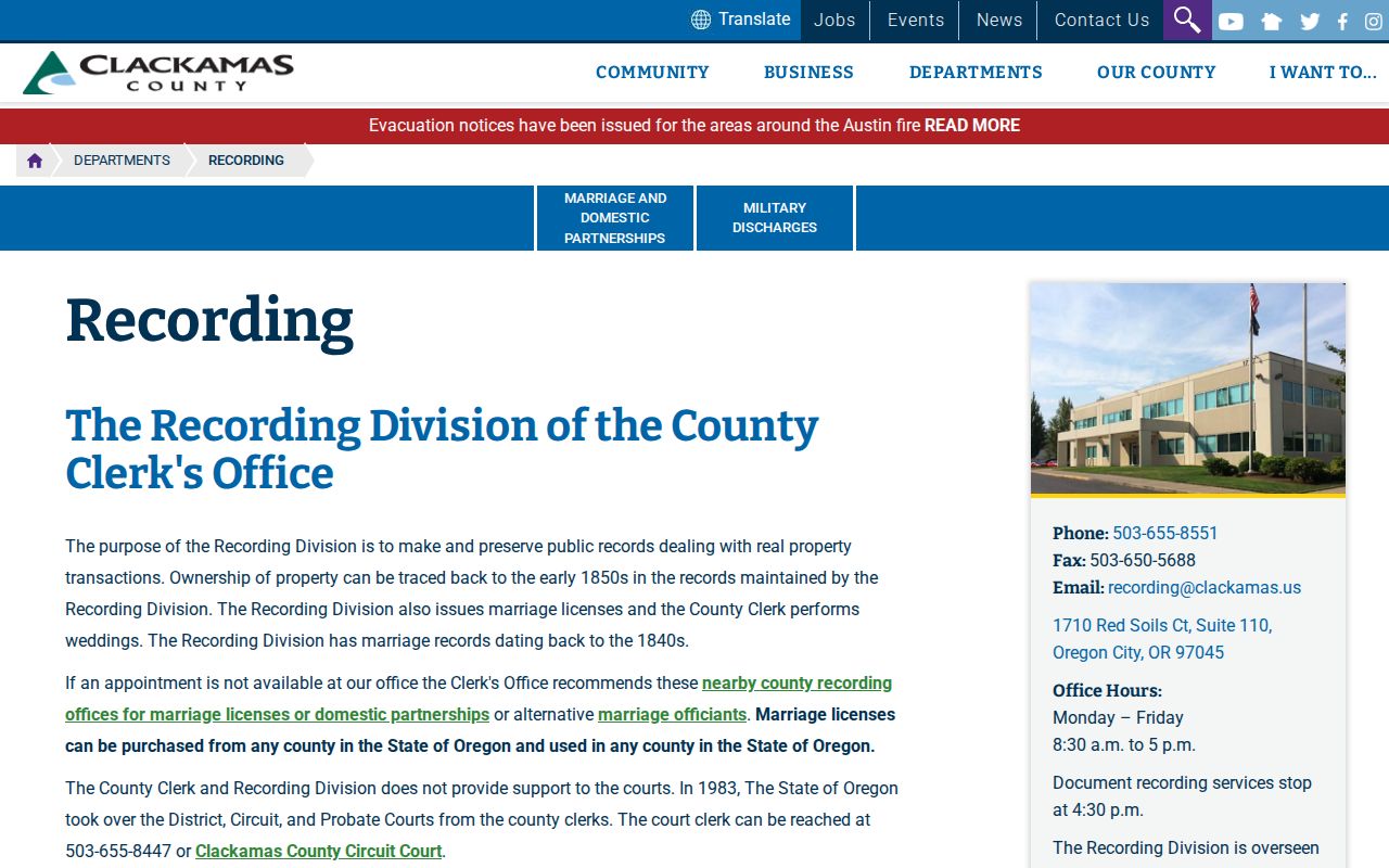
Bring the street address plus a parcel, tax lot, legal description, likely party name, approximate year, or later document number. Recording staff can help locate a document for copying, but they do not make legal title decisions.
Lake Oswego Street Permit History
Insider tip: Lake Oswego’s historic permit instructions are unusually specific. The City directs searchers to use a Start Date of 1900, enter the whole street number and the first three letters of the street name, omit directional prefixes, and select Lake Oswego as the city. That combination is a useful first pass for an older project file.
The Lake Oswego Planning Department is the city starting point for building and planning records. A permit file can date work and may name an applicant, contractor, project description, valuation, inspection history, plans, or final approval, subject to the file and redactions. It cannot establish present occupancy. The city says it does not maintain house plans from before 1985.
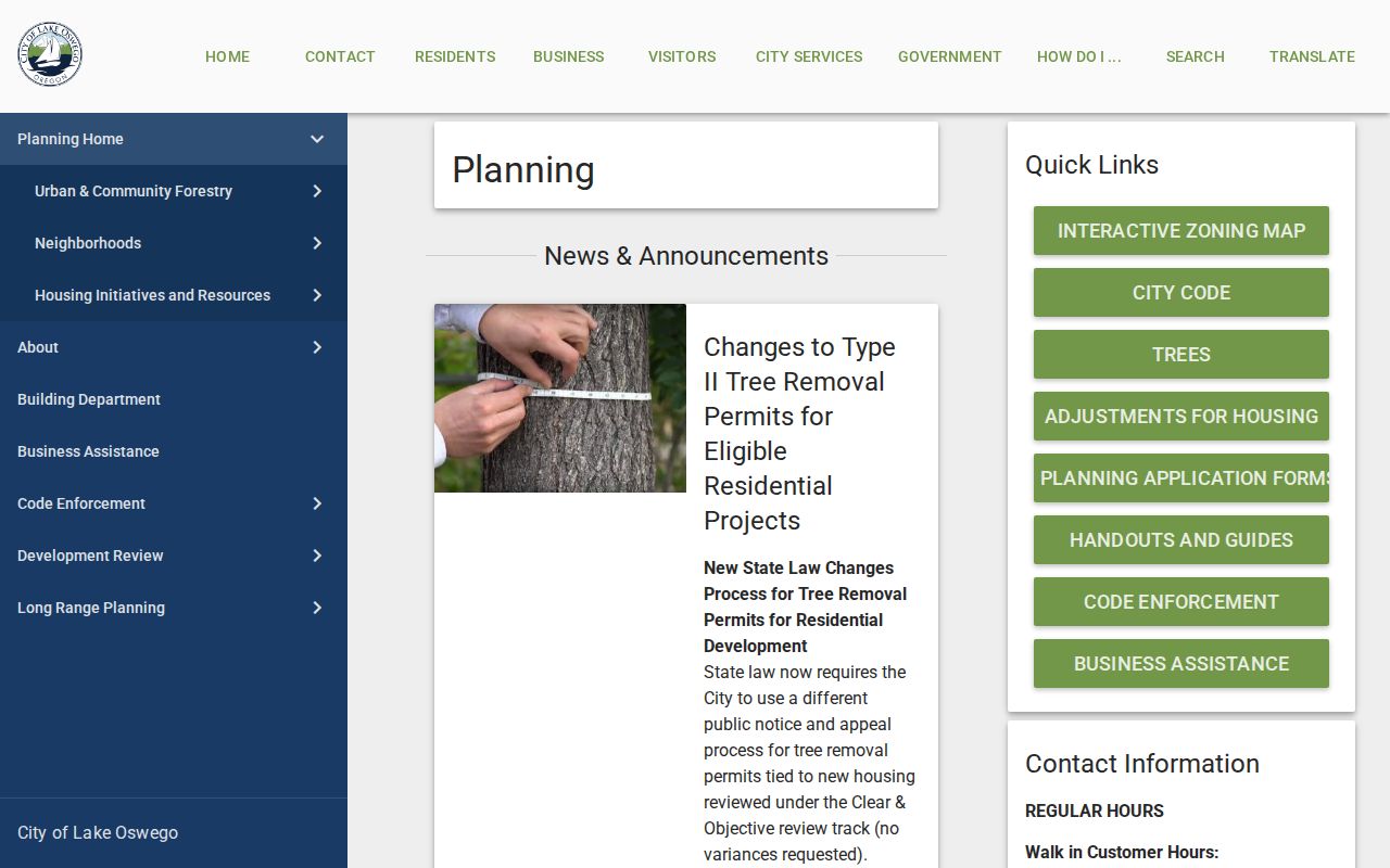
When a project is not visible in the portal, a city request works best with the exact street number, date window, project category, and requested item such as a permit application, inspection log, or certificate of occupancy.
The City’s Oregon Accela Building search is the public permit route described in those instructions.
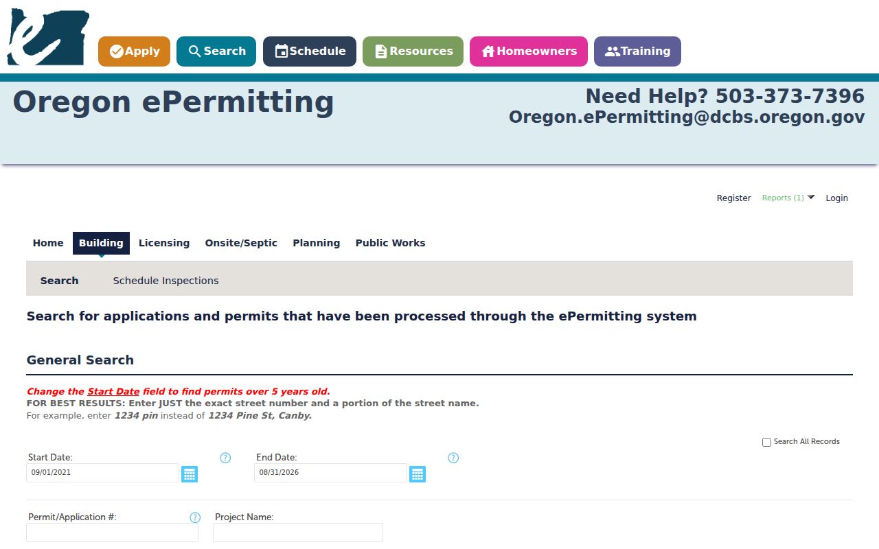
Permit status, inspection reports, correction notices, and certificates of occupancy describe a project record. Compare their dates and addresses with the property trail rather than treating them as a resident roster.
Lake Oswego Street Voter Route
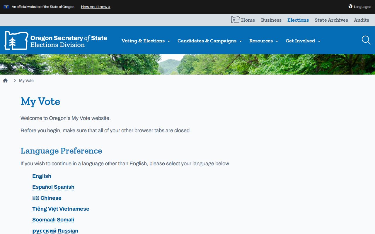
Street-level voter research is a request question, not a feature of Oregon’s self-service voter screen. My Vote is for an elector’s own registration and election information. For a public list, use the Secretary of State process or ask the county elections official what local geography and format can be produced under current law.
The county form offers formats including a precinct Walking List and Registered Voter List, subject to its stated request fields, fees, timing, and use restriction. Address Confidentiality Program information and other protected fields are excluded. A dated voter record can corroborate a permitted civic record; it cannot count every adult or household member on a street.
Lake Oswego Street Names Over Time
Older address work needs three place-name searches: Oswego, Lake Grove, and Lake Oswego. City history says Oswego incorporated in 1910, and Lake Grove’s 1960 annexation led to the name Lake Oswego. A deed, map, newspaper item, or directory can use a former place name even when the current address is familiar.
The City’s Brief History and its 1927 Sanborn map collection help date that transition. Pair the map edition and period place name with the address before searching a modern recorder index. The maps are informational, not legal surveys.
For older address-to-name evidence, the library’s verified 1947-1948 Polk directory for Lake Oswego and Lake Grove is a better lead than assuming a continuous run. See the Lake Oswego city directories for collection-specific historical access.
Lake Oswego Street List Requests
A voter record should begin with the county and the requested geography, not a guessed household. Oregon allows an electronic statewide or less-than-statewide voter list through the Secretary of State request route, while county elections officials handle hardcopy or other non-electronic local formats. The Clackamas County form describes precinct-based choices, including a Walking List and Registered Voter List, rather than a free-text block search.
Ask the elections office whether its current output can produce the street, ZIP, precinct, party, and date range needed for a lawful request. The state process has statutory exclusions, and county formats, fees, and turnaround terms can change. A returned record should be treated as date-stamped elector information, never as a census of everyone who may be present at an address.
Lake Oswego Street Directory Limits
Myth: a property owner, taxpayer, mailing recipient, listed voter, and household resident are interchangeable. They are not. Each label comes from a different record system and has its own date and public boundary. People who are not on an ownership or voter record, adult household members, guests, protected residents, utility users, and motor-vehicle customers do not form a public street roster.
Oregon’s Address Confidentiality Program uses substitute addresses for qualified participants, and voter-list rules exclude protected information. If a source has no result, do not attempt to recreate a protected address from another field. Ask the custodian about the proper access process for a nonexempt record.
Lawful use. Address records support personal, civic, family-history, estate, and property research. Oregon law also prohibits stalking and harassment; do not use public records to monitor, threaten, or harm anyone.